
Built Landscapes of Metropolitan Regions
Built Landscapes of Metropolitan Regions
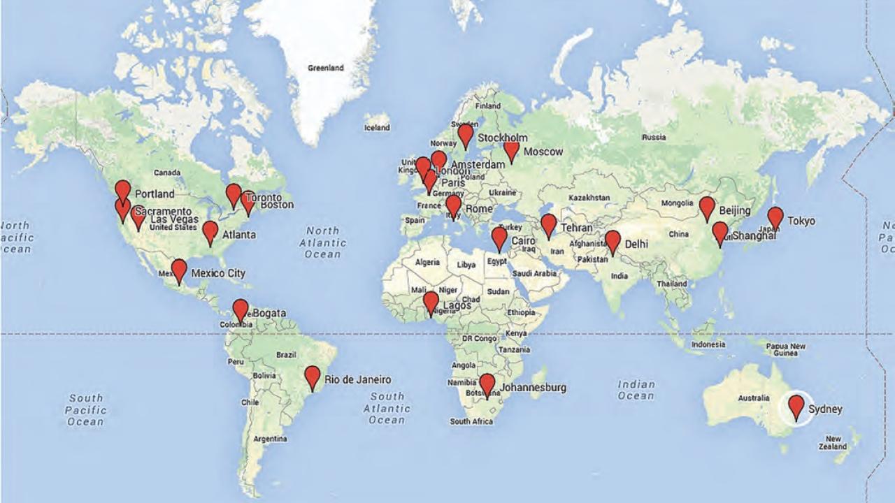
The “collage city” of the postmodern metropolitan region is made up of many different types of built landscapes—neighborhood-scale patterns of streets, blocks, parcels, buildings, and infrastructure—each of which have implications for livability, sustainability, and equity. This project under the guidance of Prof. Stephen M. Wheeler has developed a global typology of 27 built landscape types and has mapped those in GIS for 24 urban regions.
The analysis (summarized in the JAPA article below and a forthcoming book) shows that 27 basic types of built landscape make up metropolitan regions worldwide, of which 9 are very common. Traditional urban types now make up a small fraction of most metro areas worldwide, while suburban and exurban forms comprise the vast majority of the land area.
Each built landscape form offers challenges and opportunities for planning objectives such as livability and sustainability. It is important for stakeholders to 1) understand and be explicit about built landscapes and their implications, 2) include landscape-scale elements such as street patterns and networks of green infrastructure when framing urban development alternatives, 3) ensure that local codes and design guidelines enable desired forms of built landscapes and discourage those that are problematic for sustainability, and 4) incentivize built landscape change that promotes sustainability.
Individuals wishing to work with the data files for particular regions should contact Prof. Wheeler at [email protected].
Links: